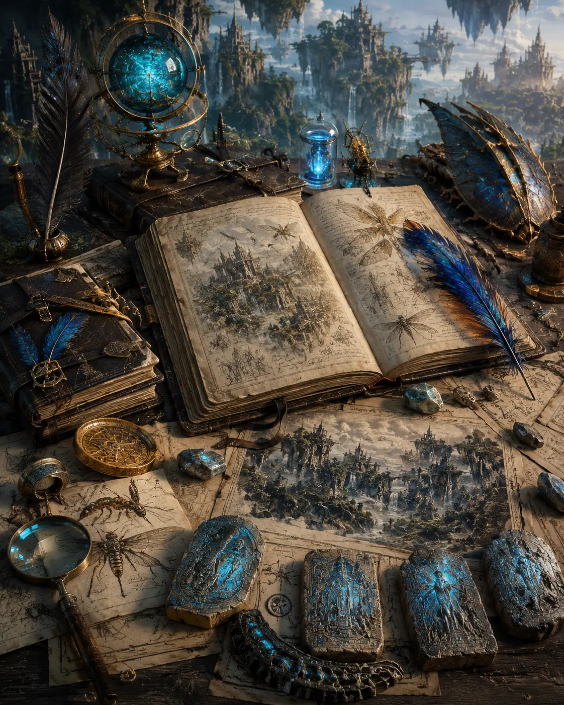
 AURORA DESIGN STUDIOSNARRATIVE ARCHITECTURE · BOOKS · SCRIPTS · WORLDS
Contact
IMAGINE.
ARCHITECT.
ENDURE.
AURORA DESIGN STUDIOSNARRATIVE ARCHITECTURE · BOOKS · SCRIPTS · WORLDS
Contact
IMAGINE.
ARCHITECT.
ENDURE.
A visual guide to the low-gravity world, its avian and arthropod peoples, vertical cities, living infrastructure, evolutionary history, and planetary-scale conflict.
PROVISIONAL · development material, not a publication-status claim.
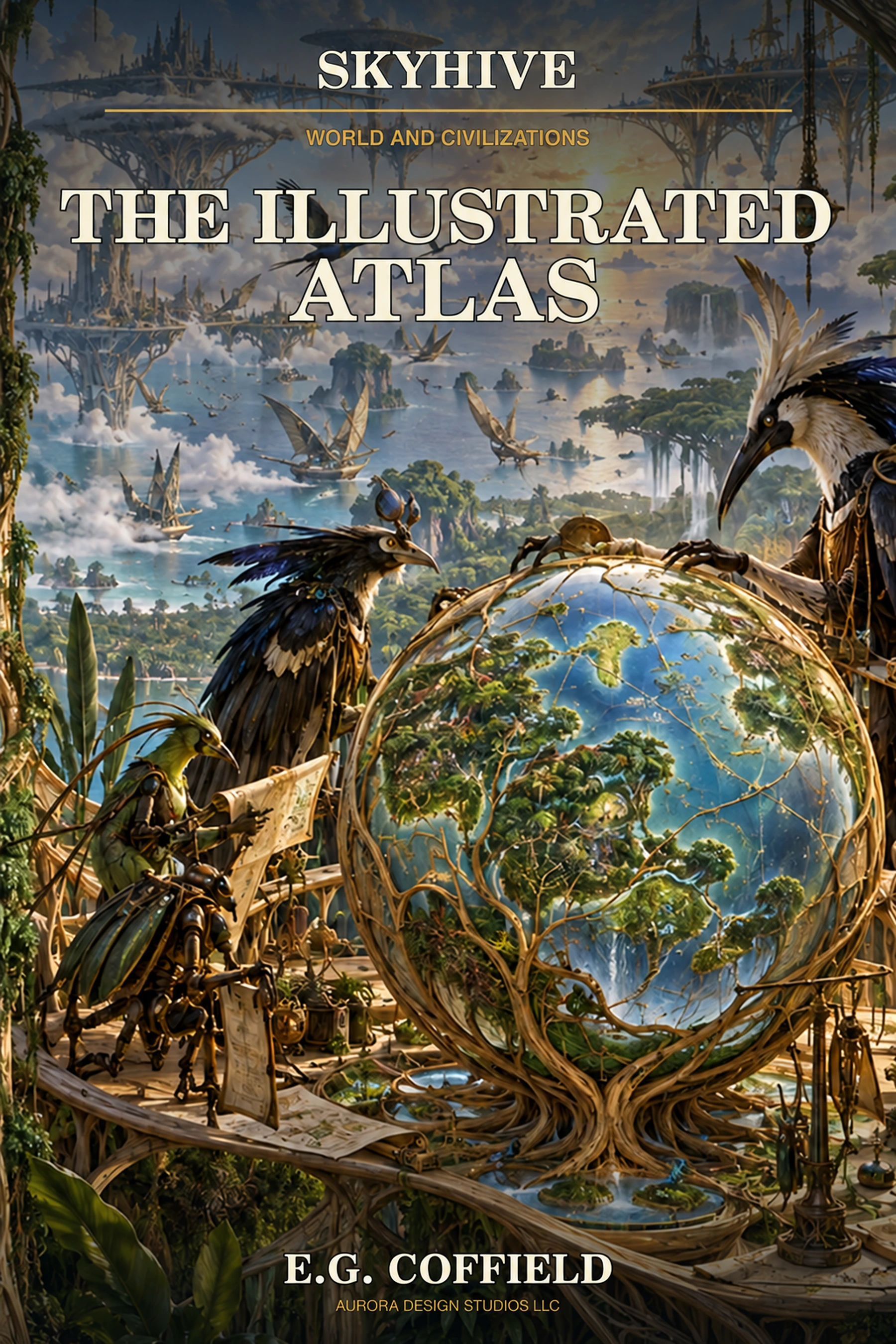
The Illustrated Atlas organizes the visual and technical architecture of SkyHive into a reader-facing companion volume. It can combine world maps, atmospheric profiles, biome studies, evolutionary lineages, city sections, transportation systems, technology plates, cultural artifacts, political boundaries, and major historical events.
Its purpose is not to repeat the novels. The atlas should make the world legible at a glance while preserving the strangeness of two nonhuman civilizations. Finished renderings, diagrams, maps, timelines, and concise commentary can show how lower gravity, dense air, elevated oxygen, megaflora, flight, exoskeletal bodies, and different communication systems shaped every layer of civilization.