The Thalassari
10 / Cartography

Mapping currents, not just coastlines

On an ocean world, a useful map encodes flow, depth, pressure and navigable transitions—not merely shorelines.

Concept cartographyDepth zonesNetwork planning
Planetary ArchiveNERATHIS / ORIGINAL WORLD

The fourth dimension of a map

A chart for a wholly oceanic civilization must account for vertical transit, moving currents and geological hazards. Two vessels sharing horizontal coordinates may inhabit different operational worlds.

Settlements as network nodes

City locations depend on current stability, mineral and energy access, biological sensitivity and safe emergency corridors. A schematic is often a better early tool than a falsely precise geographic map.

The atlas remains under development

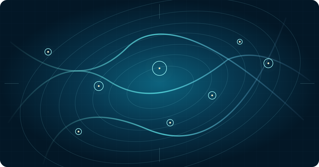
The visual map here illustrates the project’s principles; it does not claim approved positions for coastlines, city names, or ocean depths. Those decisions belong to the controlling planetary and geography authorities.
Three perspectives

Explore the implications

Public-facing overview material; specific technical implementations remain governed by the project’s controlled RT architecture.

01 / RESEARCH LENS

Flow maps

Transient current directions matter to travel.

02 / RESEARCH LENS

Depth maps

Pressure provinces organize settlement choices.

03 / RESEARCH LENS

Route maps

Rescue paths and dependencies are as important as distance.

Schematic gyres with eight habitat and route nodes, not to scale
Conceptual circulation map. Illustrative flows and station nodes only; no locked planetary coordinates or bathymetric values.
Continue exploring

Go deeper into this world

The future of intelligence need not begin on dry land.